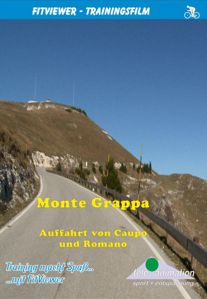


Monte Grappa Tour - From Caupo and Romano d´Ezzelin

- Order number: 80261
Vorteile
- Kostenloser Versand ab € 35,- Bestellwert
- Internationaler Versand
- Erhältlich als DVD, Blu-Ray & Download
With its height of 5823 ft the Monte Grappa is one of the highest mountains of the Vicentine Alps and at the same time the most southern point of the Dolomites.
As a jutting out mountain massif, it is situated beween the rivers Brenta and Piave.
Its exposed location allows fantastic panoramic views on a clear day.
The area gained sad popularity during World War I, when thousands of Italian and Austrian soldiers met their death in the trench warfare at the so-called Battles of Piave. At the peak of the mountain a big ossuary (charnel house) has been built to commemorate the soldiers that where killed in action.
We begin this 62 mile long and with 12589 feet in altitude very demanding tour in the village Santa Lucia at 1069 ft above sea level.
The stretch of road runs via the Monte Grappa (5715 ft) to Romano d´Ezzelin (630 ft), near the city of Bassano del Grappa and afterwards via Semonzo (682 ft) up to the Monte Grappa and back to the starting point Santa Lucia.
Very shortly after the start we reach the little village Caupo, where the ascent begins after passing through the town.
Riding round many bends and through mostly thick forests and with inclines of approximately 10 to 13 percent, we soon gain altitude.
After approximately 7 miles, below the Col di Baio (3953 ft), the forest opens up where we are offered beautiful views over the Cismon Valley of the mountains situated behind it.
Frequently changing ascents, with maximum values of up to 18 %, as well as magnificent views of the surrounding peaks, which extend far into the Dolomites, now dominate the next 11 mile long stretch of road up until the turning point at the Rifugio Bassano on the Monte Grappa at 5715 ft above sea level.
The now following descent down to Romano d´Ezzelino (630 ft) is relaxing and provides a beautiful view.
The route, with inclines ranging in the double-digit level, leads us via many bends past Semonzo along the southern slope of the Monte Grappa up to the SP148, at 5492 ft above sea level.
Whilst enjoying the beautiful panorama for the last time we ride along this road downhill back to Santa Lucia, the starting point of this beautiful tour.
Distance: ca. 100 km
Length: 262 Minutes
Available as:
- DVD-Video (PAL or NTSC)
- Blu-ray Video
- Full-HD PC Real Life Video
Von Caupo über den Monte Grappa:
Länge: 54 km
Spieldauer: 140 Minuten
The YouTube video was blocked due to your cookie settings.
From Romano via the Monte Grappa:
Distance: 46 km
Length: 122 Minutes
The YouTube video was blocked due to your cookie settings.
