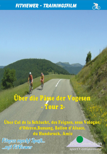


Via the Vosges Passes - Tour 2

€29.90 *
Prices incl. VAT plus shipping costs
Ready to ship today,
Delivery time appr. 1-3 workdays
Also available as instant download
- Order number: 80238
Vorteile
- Kostenloser Versand ab € 35,- Bestellwert
- Internationaler Versand
- Erhältlich als DVD, Blu-Ray & Download


