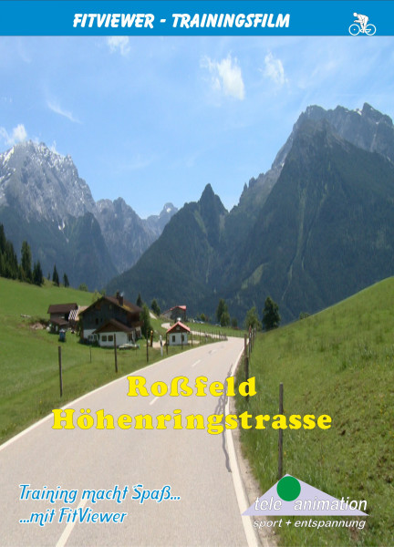
Roßfeld - Höhenringstraße
- Order number: 80271
Vorteile
- Kostenloser Versand ab € 35,- Bestellwert
- Internationaler Versand
- Erhältlich als DVD, Blu-Ray & Download
The starting point of this beautiful yet quite demanding 57 mile long tour is Bayerisch Gmain in Berchtesgadener Land (a region of Bavaria), which is 8,894 ft in altitude and 1,686 ft above sea level.
We first cycle on a local road, alongside the Weißbach, a stream which forms the border with Austria. Afterwards, we cycle on the Bundesstraße B 20 (highway) towards Berchtesgaden.
We turn off before Bischofswiesen to a small village called Loipl at 2,907 ft above sea level. It is here that we meet our first challenge: a distance of 1.4 miles with an altitude of 876 ft and inclines between 5-15 %.
After Loipl is a short descent followed by a moderate ascent to Hochschwarzeck (3412 ft) the highest point between Ramsau and Loipl. The reward for this effort is a fantastic view of the Berchtesgadener Alps with the Hohe Göll (8274 ft) and the Watzmann-Massif with a height of up to 8900 ft.
At terrific speed, we now ride down to the idyllic village of Ramsau (2133 ft), whose parish church and the Hintersee lake, which we will head for afterwards, have long been world famous landscape painting motifs.
The onward route leads us around the lake, situated at the foot of the Hochkalter (8553 ft), back to Ramsau and further via Schönau am Königsee to Berchtesgaden (1759 ft).
The tour continues alongside the river Berchtesgadener Ache to the small village of Unterau (1709 ft). From here we follow the signposts - Oberau, Obersalzberg, Roßfeld Panoramastraße, Kehlstein.
Right from the start, the road rises steeply, with gradients of well over 10% and we soon gain altitude. After the junction to the Obersalzberg, we reach Oberau (2,428 ft). The Roßfeld-Höhenringstraße starts here.
With ascents of more than 10 % the road goes on and on mercilessly up to the ridge for approximately 5 miles. Beautiful views to Austria are the reward for this sweat-inducing and strength-sapping climb.
After an enjoyable ride on the flat ridge road, where we had a fantastic view of the snow-covered rock massifs of the Austrian and Berchtesgaden Alps, we head back to our starting point, Bayerisch Gmain, via the following 17 mile long steep descent.
Distance: approx. 91 km
Length: 182 Minutes
Available as:
- DVD-Video (PAL or NTSC)
- Blu-ray Video
- Full-HD PC Real Life Video
The YouTube video was blocked due to your cookie settings.


