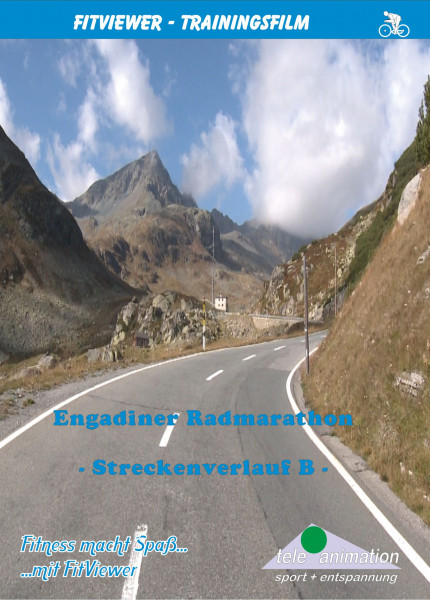
Engadin cycle marathon route 2
- Order number: 80179
Vorteile
- Kostenloser Versand ab € 35,- Bestellwert
- Internationaler Versand
- Erhältlich als DVD, Blu-Ray & Download
Zernez, which is situated at 4829 ft above sea level in the Swiss Canton Graubünden is the starting point of the second stretch of the Engadin cycle marathon around the Chiba Cup of the Alps. It is 71 miles long and has a difference in altitude of 8208 ft.
We leave Zernez on the slightly downward sloping stretch in the direction of Davos and come after approx. 3.7 miles to the small 200 souls large village Susch (4678 ft) with its beautifully decorated Engadin houses.
Here, at a difference in altitude of 3140 ft and a length of 8.7 miles, begins the climb up to the 7818 ft high Flüelapass.
Cycling through several bends we soon gather altitude. Passages with gradients of 7% to 9% alternate with flat sections on the first miles.
However, with the beginning of the tree line the gradient increases significantly.
Cycling through the high valley of the Susasca average values of 8% will be achieved on the almost straight pass road.
After climbing the pass it goes rapidly downhill on a wide road to the famous climatic health and ski resort Davos (5118 ft).
In Davos we turn to the left and leave the road 28 and follow the 19.9 mile long linking road in the direction of Tiefencastel to Alvaneu Bad.
From here on the scenically attractive climb up to the Albulapass begins.
Till Filisur (3386 ft) little gradients have to be overcome.
Only after 3.1 miles does the road rapidly gather altitude along two serpentines.
On the last miles to Bergün (4485) a gradient of up to 10% has to be climbed.
Right at the far end of the village of Bergün the road increases significantly. Gradients ranging from 8 to 11% have to be overcome till we get to the village of Preda (5869
On this stretch we can admire the unique routing of the Rhaetian Railway with its numerous viaducts, tunnels and curves.
Just before Preda, where the train comes into the Albula-Tunnel, the road becomes flatter for only a short time.
Passing the Lai da Palpuogna, an emerald green tarn, we arrive at the treeline and ride into the beautiful high alpine mountain landscape with its fields of rock formations, which lie to the left and right hand side of the road.
Now there are only four perspiration causing miles left to the Albulapass at 7585 ft above sea level.
After that the continouing tour, at first almost even and then with a rapid downhill stretch to La Punt (5535) and then further on the road 27 to Zernez (4829), our starting point, gives us a chance to recover from the preceding stresses and strains.
Distance: ca. 112 km
Length: 229 Minutes
Available as:
- DVD-Video (PAL oder NTSC)
- Blu-ray Video
- Full-HD PC Real Life Video
The YouTube video was blocked due to your cookie settings.
The YouTube video was blocked due to your cookie settings.


