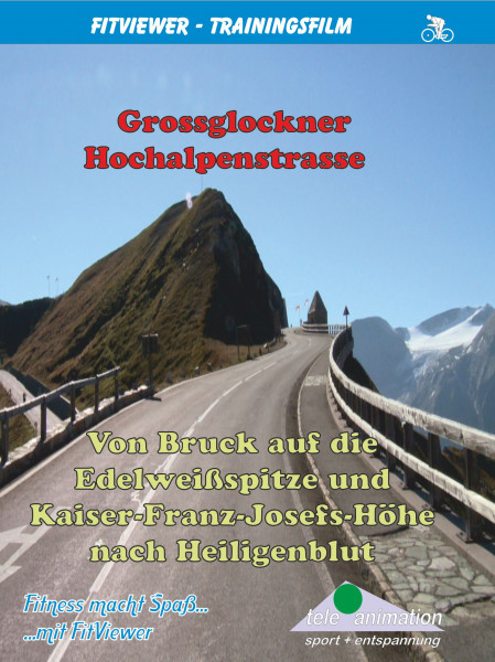


From Bruck via Großglockner High Alpine Road to the Edelweißspitze and the Kaiser-Franz-Josefs-Höhe and further to Heiligenblut

- Order number: 80241
Vorteile
- Kostenloser Versand ab € 35,- Bestellwert
- Internationaler Versand
- Erhältlich als DVD, Blu-Ray & Download


